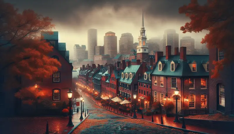
The Freedom Trail celebrates American independence — but beneath the patriotic narrative lie stories of execution, disease pits, and revolutionary violence.
This article is part of our comprehensive Boston ghost tours guide. Whether you're planning a visit or researching from afar, these stories reveal a side of Boston most visitors never see.
Deadly Streets: Smallpox, Cholera, and Epidemics That Shaped the Freedom Trail
Has the trail that tourists walk today ever been the artery of disease and death for a growing colonial city?
The Freedom Trail threads through Boston neighborhoods that, from the 17th through the 19th centuries, repeatedly suffered outbreaks that reshaped civic life. The most famous early epidemic struck Boston in 1721 when smallpox returned after decades away. Cotton Mather (1663–1728), leading Massachusetts minister and natural philosopher, argued vocally for inoculation after learning from his enslaved African servant Onesimus, who described West African variolation methods used to build immunity against smallpox. The public controversy erupted in 1721, with physician William Douglas and other Boston doctors fiercely opposing Mather's advocacy for the then-experimental procedure; this medical and social debate occurred in the square-mile colonial city where the Trail now passes. The controversy between Mather and his opponents revealed how medical fear, civic panic, and the collision between traditional medicine and innovation were as much a part of daily life as sermons and markets.
Later epidemics continued to scar the urban fabric. Cholera hit Boston in 1832 during the period of rapid industrialization and immigration; the disease moved quickly through crowded boarding houses near Dock Square and the North End. The 1918 influenza pandemic also claimed many lives across Boston, overwhelming hospitals near the Common and along Tremont Street. Because the Freedom Trail links civic buildings, churches, and burial grounds, it also links sites where bodies were tended, quarantined, or buried under crisis conditions.
Descriptions of suffering here are well-documented: public orders, quarantines, and the establishment of temporary pesthouses are found in municipal records and contemporary newspapers. The memory of those containment measures persists locally—records at the Massachusetts Historical Society note municipal actions in 1721, and newspapers such as the Boston Gazette printed public health notices during the 1832 cholera outbreak. Those same notices sometimes described unaccounted deaths within lodging houses on or near Washington Street and North Square—addresses now walked daily by visitors.
For those cataloguing Boston ghost lore, epidemic histories matter: mass death and hurried burials create the conditions for stories. The Granary Burying Ground and Copp's Hill (Hull Street and Snow Hill Street) contain headstones from multiple waves of disease, and oral histories collected by local historical societies reference lingering smells and sudden chills reported by cemetery visitors. The confluence of documented disease and ongoing anecdotal reports is why the Freedom Trail’s medical past is inseparable from its haunted reputation in the records of Boston ghost and Boston haunted narratives.
Sites of Revolution: Bloodshed at the Old State House, Boston Massacre, and Bunker Hill
Can the echo of musket fire and the weight of revolution still be felt where citizens and soldiers once clashed?
The cast of revolutionary violence along the Freedom Trail is unmistakable. The Boston Massacre took place on March 5, 1770, in front of the Old State House at 206 Washington Street, where escalating tensions between townspeople and British soldiers under Captain Thomas Preston exploded into violence. Five colonists were killed, including Crispus Attucks, a mixed-race sailor and ropemaker often identified as the first casualty of the confrontation; also killed were Samuel Gray, James Caldwell, Samuel Maverick, and Patrick Carr. The Old State House itself was a scene for speeches, trials including Preston's court-martial, and the public trauma that fed revolutionary sentiment and galvanized colonial resistance to British rule.
Less than five years later, the Battle of Bunker Hill on June 17, 1775, while technically fought on Breed’s Hill in Charlestown, immediately north of the Trail’s terminus, produced enormous casualties. British forces suffered roughly 1,054 casualties (about 226 killed and 828 wounded) while American forces incurred approximately 441 casualties (about 140 killed and 271 wounded). The carnage is memorialized at the Bunker Hill Monument (Monument Square, Charlestown), designed by architect Solomon Willard and completed in 1843, and in contemporary accounts that recorded the grim aftermath—clergy and citizens spending days clearing the dead from streets and caring for the wounded in makeshift hospitals across Charlestown and Boston proper. For related history, see our boston harbor islands.
Other Freedom Trail sites were scenes of political violence and repression. The Old South Meeting House (310 Washington Street) served as organizing ground for protests against the Tea Act in 1773; in the months after the Massacre and the Tea Party, Crown officials used the courthouse structures along the Trail for tribunals and punishments. These civic functions often left individuals publicly humiliated or dead in the streets, realities that local writers and diarists recorded in detail. Contemporary documentation—such as depositions, trial records, and newspapers—provides a clear chain of evidence tying specific deaths and injuries to these locations.
Stories of spectral soldiers and the sounds of distant gunfire are reported frequently in local lore, and they cluster at precise addresses: 206 Washington Street (Old State House) and Monument Square in Charlestown. For investigators and historians trying to separate memory from metaphor, those reports are sometimes paired with primary sources documenting where bodies were found and how they were handled—evidence that makes Boston’s revolutionary past a factual starting point for later ghost narratives.
Graves and Their Stories: Granary, King’s Chapel, and Copp’s Hill
How do the stones along Tremont Street and Hull Street keep the stories of the dead alive?
The Freedom Trail passes several burial grounds where the city’s prominent dead and many anonymous sufferers rest together. The Granary Burying Ground, located at Tremont and School Streets, is the resting place of Samuel Adams, John Hancock, and Paul Revere; the King’s Chapel Burying Ground sits at 58 Tremont Street with graves dating to the 17th century; and Copp’s Hill Burying Ground sits in the North End at Hull Street and Snow Hill Street, overlooking the Charles River. These sites contain clearly dated markers and epitaphs that document deaths from epidemic disease, childbirth, and professional hazard—each stone a historical data point.
Burial patterns here tell a story: a cluster of 18th-century stones noting “consumption” or “fever” reflects the absence of effective medical treatments, while later slabs list more precise causes as public health knowledge improved. The Granary also records Revolutionary deaths and later 19th-century interments. Municipal records and church registers corroborate headstone dates; researchers can match burial entries to epidemic years such as 1721 and 1832, linking individual graves to documented community crises.
Local staff and guides have long reported atmospheric phenomena in these cemeteries. For example, CursedTours guide Michael Donovan has described “a weighty stillness and, once, the sound of a child crying between tombs” while leading nocturnal historical discussions past the Granary fence. Donovan’s account is representative of many similar testimonies: careful listeners describing sensory impressions—smells, temperature changes, or faint noises—rather than dramatic apparitions. Copp’s Hill, with its older, densely inscribed stones, is also the focus of stories about shadowy figures seen at dusk by visitors whose names have been recorded in local oral-history collections. For related history, see our the boston strangler.
Because these burial grounds are also primary historical sources, historians can often match reported sensations or sightings to the documented presence of a ceremony, moment of wind, or a nearby mechanical noise—factors that foster cautious interpretation. Still, for those cataloguing Boston ghost and Boston haunted accounts, the combination of documented deaths with repeated witness testimony keeps these cemeteries prominent in both archival research and folklore archives.
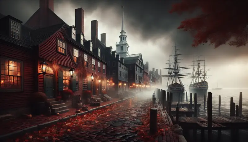
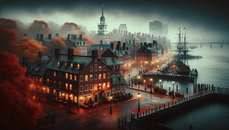
Paul Revere, Old North Church, and Reports from the North End
Do the narrow lanes of the North End—North Square and Salem Street—hold traces of the riders and bell signals in ways more than historical memory?
The North End is dense with buildings that are preserved, repurposed, and haunted by reputation. Paul Revere’s house at 19 North Square is one of the Trail’s most visited addresses, and the Old North Church (Christ Church in the City of Boston) stands at 193 Salem Street as the location of the lantern signal on April 18, 1775. These structures are anchored to documented events: Revere’s midnight ride, the church’s 1723 construction and its role on the eve of open war, and the North End’s transformation over centuries from maritime hub to immigrant neighborhood.
Physical alterations to the built environment sometimes create the sensory conditions that fuel ghost reports—creaks from original wooden beams, drafts moving through uninsulated walls, and odd acoustics in cellar spaces. In 2016, a part-time docent at Paul Revere House reported to CursedTours that during an after-hours inventory at 19 North Square she smelled pipe tobacco and felt a cold pressure near the kitchen hearth where Revere’s family had once tended irons; she noted no logical source in the closed house. The Old North Church, with its high, shadowed galleries and tall, resonant bell tower, invites another category of accounts: visitors have described the sensation of being watched in pews where Paul Revere and his contemporaries once sat.
Those testimonies—while part of local lore—are set against precise archival evidence. The church’s vestry minutes, Revere family inventories, and 18th-century parish records document who occupied which pews and where parishioners set down belongings. That combination of documentary specificity and repeated visitor reports is why many researchers treat North End phenomena as social and architectural artifacts as much as metaphysical claims.
For the investigator interested in Boston ghost and Boston haunted narratives, the North End provides a laboratory: documented Revolutionary events (April 18–19, 1775), buildings with well-documented modifications, and consistent witness reporting that can be cross-checked with operational details such as building hours, HVAC cycles, and conservation activities at 19 North Square and 193 Salem Street. For related history, see our most haunted places in boston: a.
Documented Paranormal Encounters and Witness Testimonies
Which specific reports along the Freedom Trail have the most credible witnesses, and how were those reports recorded?
There are a number of well-circulated encounters that have been recorded in local oral-history projects, newspaper features, and internal accounts by professional guides. One of the better-documented modern testimonies comes from former Old State House security officer Thomas O'Leary, who spoke with a city archivist in 2009 about an incident at 206 Washington Street. O'Leary reported hearing deliberate footsteps on the second floor late at night, followed by the clear sound of a chair scraping as though someone had risen from it. CCTV footage did not capture any visible intruder, and staff log entries for that night note the security watch but no mechanical explanation; O'Leary’s statement was recorded in the Old State House security ledger and later summarized in a municipal oral-history file.
Another notable account involved CursedTours guide Michael Donovan during a 2014 evening walk near Copp’s Hill Burying Ground. Donovan reported that while briefing a small group about 17th- and 18th-century burials, a woman in the group named Karen Wilkes (a local historian present with the tour) later told him she had seen “a figure in colonial dress standing behind a ledger stone” and had experienced a sudden drop in temperature. Donovan filed a written incident note with the tour company and provided a contemporaneous sketch of the area; Wilkes added a written account to the tour company’s archive. Both testimonies were collected without sensational embellishment—names, date, and the specific stone’s location (near the eastern wall at Hull Street) were recorded.
There are other, older reports preserved in newspapers and memoirs: a 19th-century shopkeeper near the Old South Meeting House reported regular “strange light” in a back room between 1850 and 1860, and an 1880 diary entry by a local clerk near the Granary mentions “voices at night” after a heavy rainstorm washed leaves across the gravestones. Historians treat such documents carefully—contextualizing them against newspaper printing practices, the prevalence of spiritualism in the 19th century, and natural explanations like nocturnal animals or wind patterns. Still, the presence of named witnesses and recorded accounts at specific addresses (206 Washington St; Hull St, Copp's Hill) moves these reports from mere hearsay to a documented corpus that scholars of folklore and paranormal studies examine with both curiosity and methodological caution.
Legacy, Preservation, and How the Past Lingers on the Trail
What responsibility do historians, guides, and caretakers have when the Freedom Trail’s past is both tragic and a source of popular ghost stories?
Preservation work along the Freedom Trail is charged with multiple aims: conserving fabric, telling historically accurate stories, and respecting the memory of the dead. Municipal landmark protections by the Boston Landmarks Commission, National Register listings for several sites along the Trail, and the stewardship of religious congregations like Old North Church and nonprofit organizations all require careful documentation. When structures are stabilized or stones conserved—Massachusetts State House at 24 Beacon Street (current seat of state government since 1798), Old North Church at 193 Salem Street (home of the \"one if by land, two if by sea\" signal), Paul Revere House at 19 North Square (Boston's oldest building, built around 1680)—archivists simultaneously compile the documentary record about deaths, epidemics, and battles, making those facts accessible in primary-source form.
At the same time, tour operators, local historians, and archives carefully manage anecdotal ghost reports. CursedTours, for example, retains witness statements, dates, and context so that folklorists and scholars can study patterns without sensationalization. That practice reflects responsible public history: record the testimony, corroborate it against municipal logs or newspapers, and present it with disclaimers about natural explanations. This approach maintains credibility while acknowledging that places where people died suddenly—during smallpox outbreaks, in the aftermath of the Boston Massacre (March 5, 1770), or after Bunker Hill (June 17, 1775)—will continue to attract stories.
For preservationists, the ethical line is clear: respect the dead and provide visitors with reliable context. Interpretive plaques at Granary Burying Ground and Copp’s Hill emphasize documented facts—names, dates, causes of death—while acknowledging that the sites have a long afterlife in local lore. That balance is important for those studying Boston ghost and Boston haunted traditions: it preserves the historic record while validating the cultural function of storytelling. In the end, the Freedom Trail’s dark side—its deaths, disease, and revolution—is a real, documented past that continues to affect how Bostonians and visitors understand the city’s living landscape.